Welcome to Jim Chandler’s Photogrammetry WebPages
Prof. J.H. Chandler, BSc PhD FRICS SFHEA,
Former Professor of Geomatics, Loughborough University, UK.
(Email: JimChandler.Spatial@virginmedia.com]
Primary aim of my research was to develop and exploit modern geomatics methods and digital photogrammetry, particularly in the earth sciences and heritage recording and using close range and oblique aerial/quadcopter imagery.
Research Repositories: Web of Science |Google Scholar |Orcid |Published papers (many available to download!)|
Various Projects
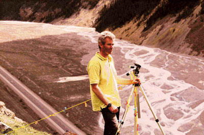
- Monitoring landform changes, initially at The Black Ven landslide complex, the largest coastal landslide complex in Europe!
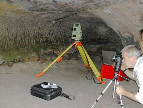
- Rock art and heritage recording
- ISPRS Working Group V5/6, (2008-2016) and “Tips for close range photogrammetry”.
Updated: April, 2023